If you run a local service business, you’ve probably had this question pop up a lot: “Do you serve my area?” Whether you’re a plumber, dog walker, or food delivery expert, boundaries matter. But drawing those boundaries shouldn’t feel like homework.
That’s where custom service polygons come in. No, it’s not geometry class. It’s actually a fun, creative way to show the world exactly where your team works their magic!
What Is a Service Polygon?
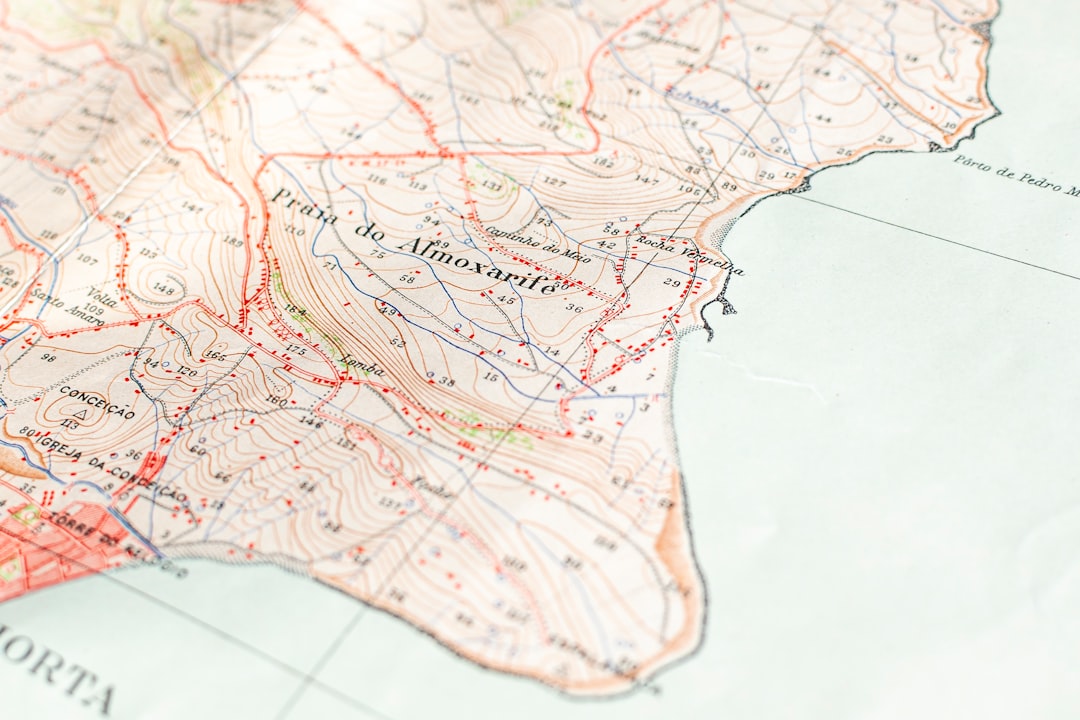
Picture a digital map. Now imagine outlining the zone where your business operates, almost like drawing with a highlighter. That’s a service polygon. It’s not a boring ZIP code area or a giant circle.
It’s a custom shape you draw yourself. It’s like drawing on a map with superpowers!
Why Not Just Use ZIP Codes?
- ZIP codes are messy. They weren’t made for service zones. They were made for mail delivery.
- You can’t show pockets. Maybe you skip one street because of construction. Polygons let you pin that out.
- They don’t show precision. With polygons, you get to decide every edge, corner, and curve of your zone.
Think: team boundaries, not postal routes!
Where Do You Use These Polygons?
You can use custom service boundary maps on:
- Your business website – to show people if they’re in the zone
- Google Maps, using the API
- Mobile apps for local delivery or dispatch
- Booking systems that filter based on location
Let’s Map It Out – Step by Step
Time to build a polygon! Don’t worry, you don’t need a degree for this.
- Choose Your Mapping Tool. Use free tools like Google My Maps or professional map builders that let you draw.
- Zoom Into Your Area. Get close to your city map and find the places you serve.
- Click to Draw. With your cursor, start clicking around the border of your service area. Each click becomes a corner of the shape.
- Complete the Loop. Connect that last point to your first, and you’ve got yourself a polygon!
- Save and Share. Export or embed your map on your site or app.

Tips for a Great Polygon
- Be honest. Only cover areas you truly serve. Don’t stretch it just to look big.
- Use landmarks. Follow roads, parks, or rivers that define your boundaries.
- Test it! Pretend to be a customer and see if the service zone works as expected.
What Happens After You Publish It?
Your service map can now do amazing things when connected to your website or app:
- Auto-check coverage by entering an address
- Filter requests so you only get leads in your actual area
- Route smarter – your dispatch team can see what’s inside your zone
In short, it keeps things clear for everyone – and saves you time.
Who Uses Custom Polygons?
You’ll find all kinds of businesses drawing polygons, including:
- Cleaning services that cover certain neighborhoods
- Mobile dog groomers who visit homes in specific zip chunks
- Delivery apps that scale up by zone
- Home services like electricians or pest control
Even municipalities and school districts use this trick to define zones!

Advanced Stuff (But Still Easy!)
Want to go a bit deeper? Here are some cool features you can add:
- Multiple Polygons: Maybe you serve more than one city section. Add a second polygon!
- Time-Based Serving: Only work downtown on Fridays? Some tools let you schedule your polygons.
- Color Coding: Use colors to show pricing tiers, availability, or promotions.
Tools to Try
You don’t need to build this from scratch. Try these friendly map tools:
- Google My Maps: Free and easy. Great for beginners.
- Mapbox: Customizable with developer options.
- GeoJSON.io: Perfect for drawing and exporting service areas.
- Service area plugins for WordPress: Great for small businesses with websites.
Case Study Fun – Gino’s Gelato Truck
Let’s meet Gino. He runs a gelato truck in San Diego. He used to get orders 20 miles away. Oops!
Then he added a custom polygon to his website. Now, if someone tries to order from outside his cone zone, the site says “Sorry, Gino only scoops here!”
He spends less on gas and serves more scoops per hour. Win-win!
Polygon Power – Final Thoughts
Drawing custom service boundaries is fun and functional. It lets your business say:
- “We proudly serve here” – no more guessing
- “We don’t deliver there (yet!)” – with no awkwardness
- “Let’s streamline this!” – less time answering the same questions

Whether you’re solo or on a growing team, putting your polygon on a map is a superpower. It’s a boundary – but in the best way.
So grab your mouse. Zoom in. Click around. And draw your zone!


